

Rivers

Black River
Black River The Black River originates in Reynolds and Iron Counties, MO and flows south through Wayne and Butler Counties and into Arkansas. Due to the differences in geology, hydrology, habitat, biota, land use, and water quality, the basin is separated...
Eleven Point River
Eleven Point River The Eleven Point National Scenic River was established in 1968 as a 44 mile scenic river, free of impoundments with a largely undeveloped shoreline and watershed. This portion of the river between Thomasville, Missouri and the Highway 142 bridge is...
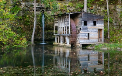
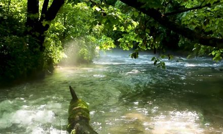
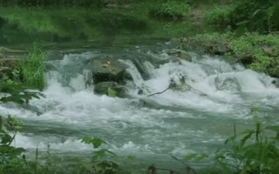
Falling Springs Mill
Once you step out of your car this site will transport you back in time. This is a rustic picnic area with abundant history, and minimal conveniences. The day use facility is situated on the edge of a pond formed by a spring. The around the pond is open and grassy....
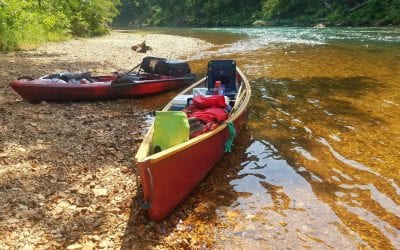
Jacks Fork River
photo courtesy of Mark Pelton Jack's Fork River The Jacks Fork River is formed by the confluence of two streams: the North Prong and South Prong of the Jacks Fork. The North Prong has its beginnings approximately 9 miles south of Raymondville, Missouri,...
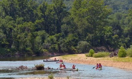
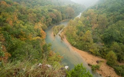
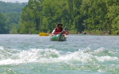
Lower Current River
Lower Current River While the Lower Current River starts at the 2 Rivers Junction, the 52-mile reach in Carter and Ripley counties from Van Buren to the Arkansas state line offers some big water for smallmouth bass, walleye, and suckers. Look for...
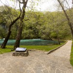
Montauk State Park
Montauk State Park Montauk State Park preserves a shady green retreat that offers visitors plenty of opportunities for fun, whether it is fishing, camping, hiking, picnicking or just relaxing with friends and family. The park is located at the headwaters...
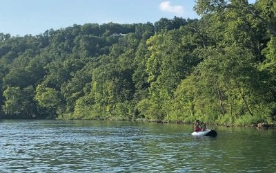
Upper Current River
Upper Current River With camping, trout fishing, and canoeing, the 19 miles of Current River from Montauk State Park to Akers Ferry in Dent and Shannon counties has it all. There are two designated trout management areas below Montauk Trout Park that offer...