


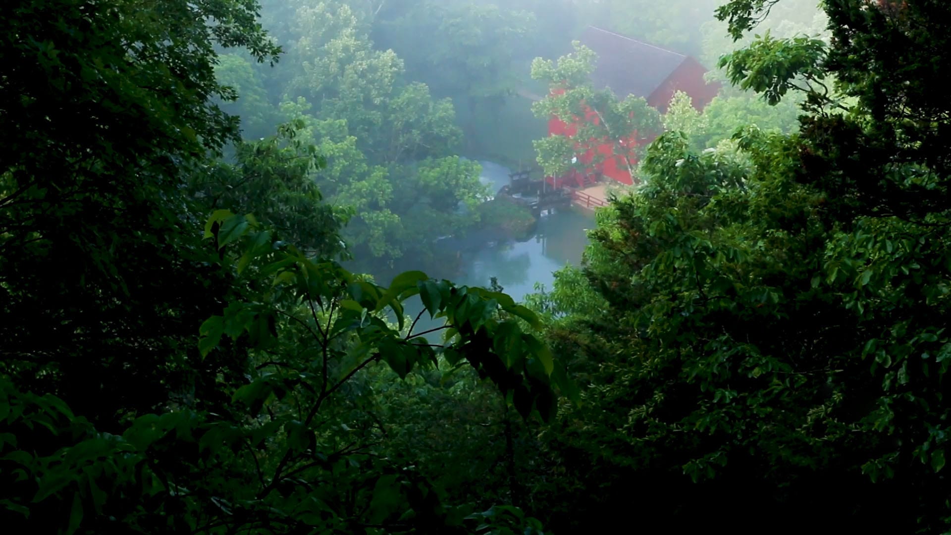
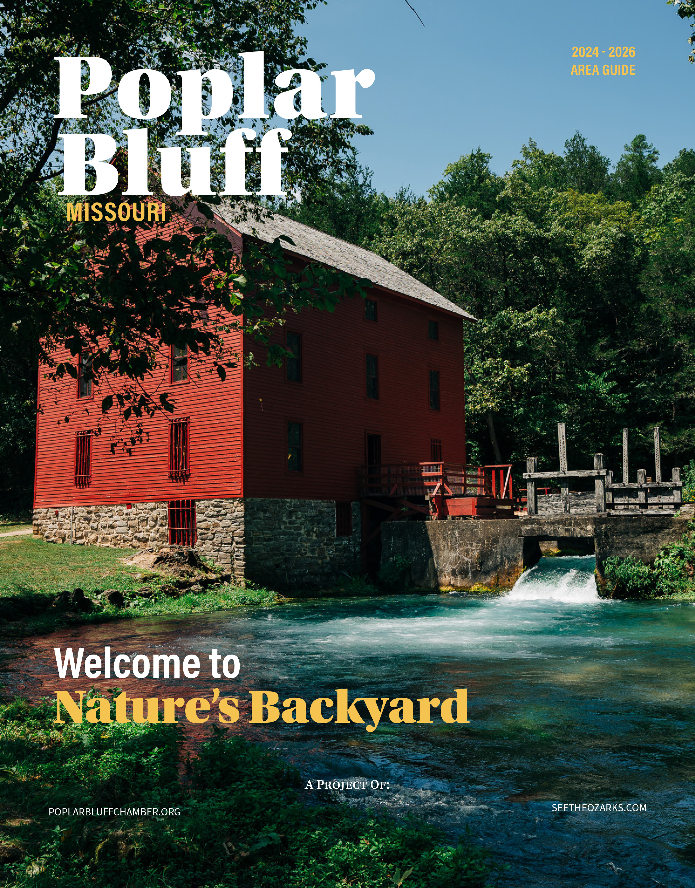
Alley Mill

photo courtesy of Mark Pelton
Alley Mill
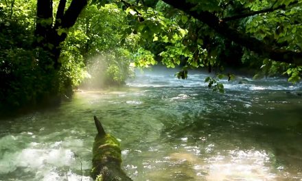
Alley Spring, the natural area’s namesake, is the seventh largest spring in Missouri. The spring conduit is known to extend at least 3000 feet underground and reaches at least 155 feet below the surface. Rainfall and runoff entering sinkholes around the town of Summersville, 15 miles to the northwest, has been determined to enter the labyrinth of cave passageways formed in dissolved dolomite ( a type of limestone) under the Missouri Ozarks and exit at Alley Spring. Just outside of the natural area is Alley Spring gristmill that was built in 1894. Despite the historic use of the spring to power a mill, Alley Spring has retained its biological integrity. The cool waters issuing forth from Alley Spring flow through a spring branch for a half-mile before entering the Jacks Fork River. Featured photo courtesy of Mark Pelton.
Did You Know?
Alley mill’s current structure was built in 1893-1894 by George Washington McCaskill.
Directions to Alley Mill
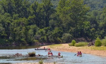
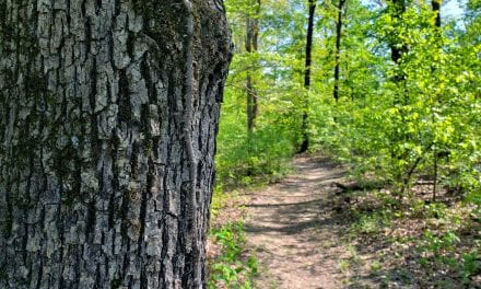
From Eminence, take Highway 106 west nearly 6 miles to the Alley Spring picnic area on the right (east). The natural area can be accessed by hiking the 0.75 mile Spring Branch Trail or the 1.5 mile Overlook Trail. The trails can be accessed near the historic Alley Mill.
Alley Mill & Spring


