


Peck Ranch Conservation Area

Peck Ranch
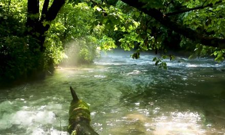
This amazing wildlife area, managed by the Missouri Department of Conservation, consists of 23,048 acres of rugged, forested hills and hollows including four natural areas. The Ranch’s highest point is Stegall Mountain, 1,348 feet above sea level. Rogers Creek and Mill Creek, which flow into the Current River, meander through the area. Plan on spending some time here.
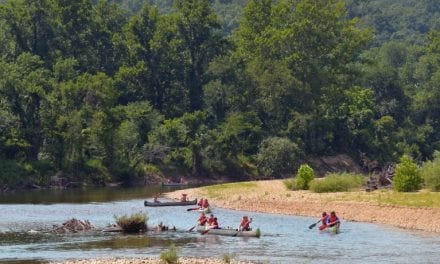
This area is predominantly forest with nearly 1,500 acres in glades, along with old fields, savanna, cropland and some wetlands. Facilities/features include: primitive camping, picnic areas, a firearms range, viewing deck, two deer/turkey blinds, and four Natural Areas (Grassy Pond, Goldenseal, Stegall Mountain and Mule Hollow). For a driving tour map check out the Missouri Department of Conservation website here.
Did You Know?
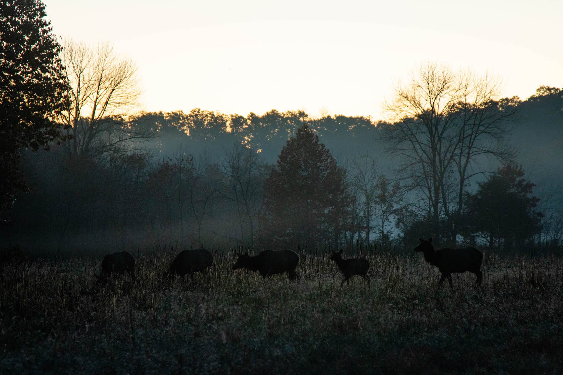
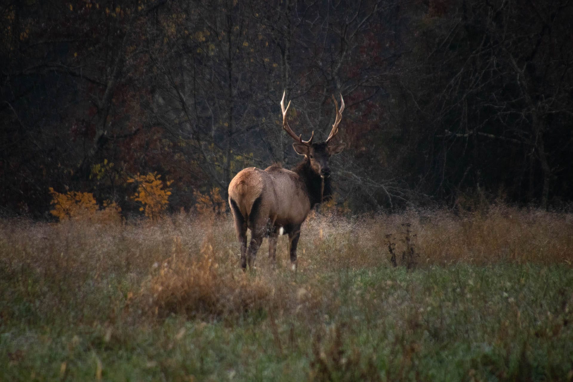
It’s still possible to see dozens of elk at one time in Peck Ranch. Though settlers wiped out the Missouri elk population in the late 1800’s, elk were reintroduced at Peck Ranch in 2011, and the population is thriving.
Directions to Peck Ranch
From Van Buren, take Hwy 60 west 13 miles to Hwy P, then North 3 miles to end of blacktop.
Peck Ranch


