


Turner Mill

Turner Mill
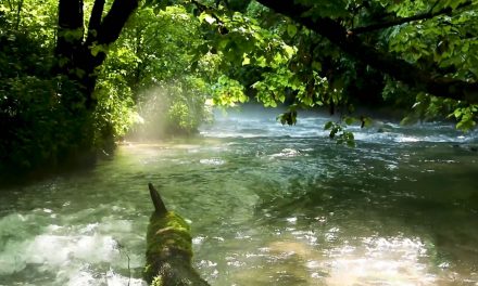
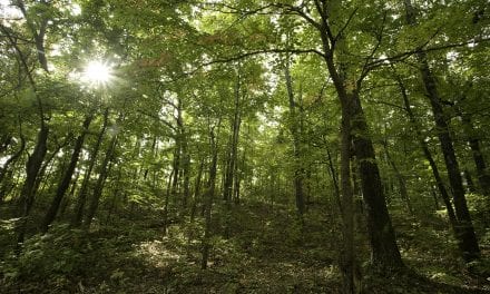
Turner Mill North is located on the left side of Eleven Point National Scenic River at mile 22.3. This access is 4.9 miles downriver of Greer Crossing. Located on the edge of the Irish Wilderness area near Alton, Missouri, Turner Spring is a lovely place for family fun. Turner Spring (1.5-million-gallon average daily flow), flows from a high rocky bluff and use to power a 25ft metal mill. The Mill is in the Spring branch. There is no camping on the North side of the River. The North River Access is strictly for viewing and exploring.
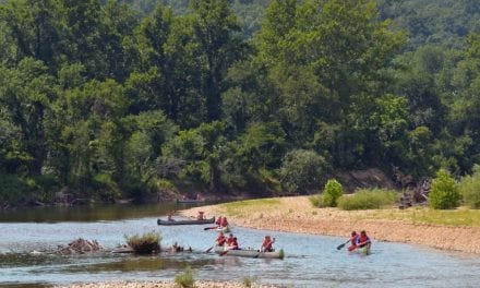
Turner Mill South is located on the right bank of the river at 21.5 miles. This access is rustic in nature and offers limited dispersed campsites, limited day use area, a concrete boat launch, and toilet facilities. This access is located 4.9 miles downriver of Greer Crossing.
Did You Know?
Turner Mill Spring exits from a small cave opening at the base of a tall bluff. Historic remains of the water chute that directed the spring’s water to the mill can be seen near the bluff and spring.
Directions to Turner Mill
Turner Mill North Picnic Area is accessed by hilly, gravel Forest roads 3152 and 3190. The turnoff to Turner Mill is 15 miles south of Winona or 11 miles north of Alton on Hwy 19. From Hwy 19, turn onto FR 3152 for 6 miles then on FR 3190 for 3 miles.
Turner Mill South River Access is on the other side of the river. From Alton MO, take Hwy 19 north to Hwy AA, east on AA to County 127 to Turner Mill South (also 5 miles upriver to Barn Hollow Float Camp).
Turner's Mill
Turner's Mill South


